
Route Summary
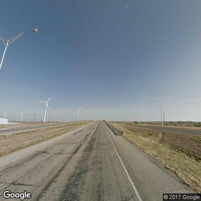
The 250 mile loop east of Lubbock starts off with flat road through cotton fields. Eventually, you will find yourself riding on long and sweeping curves circling the Double Mountains. Much of the scenery, once traversed by Native American tribes, Spanish explorers, and various settlers, has been untouched for decades, so you do have to be on the lookout for wildlife. At the end of the 250 mile ride, you find yourself back in Lubbock, close to where you started.
This route had fatal and incapacitating crashes between 2010 – 2025. In Texas, drivers are not assigned “at fault” in a crash, but law enforcement can assign ‘factors or conditions’ that contributed or may have contributed to a crash. Multiple ‘crash factors and conditions’ can be assigned to one, some, or all vehicles involved in a crash.
The following tables represent data extracted from the Texas Department of Transportation’s Crash Records Information System (TxDOT’s CRIS).
| Safety (2010-2025) | |
|---|---|
| Crashes | |
| Fatalities | |
| Serious Injuries | |
| Top Weather Crash Condition | |
| Top Lighting Crash Condition | |
| Top Road Crash Condition | |
Crash Narrative Summary
The following list is a summary of the crash events and conditions that have been described by officers investigating crashes along this route. The investigating officer provides his/her opinion of how the crash happened and will emphasize or explain, as necessary, any pertinent facts that are not fully explained elsewhere on the crash report. This section is meant to supplement the above data tables by providing further insight and “clues” into what factors and conditions contributed or may have contributed to crashes along this route.
- Crashes along this route varied. Motorcyclists were involved in crashes with factors that ranged from turning when unsafe in front of other vehicles, turning wide, colliding with animals, and being rear-ended by other vehicles. Look ahead. Look to the side. Look in your mirrors. Look over your shoulders. Keep looking! (MSF)
- 42% of motorcycle operators did not have a valid Class M endorsement. Motorcycle training courses are taught at three different levels. The beginner course is for new riders to learn the basics and acquire their Class M endorsement. The intermediate course is designed for returning riders who already own a motorcycle who have riding experience, but never obtained their motorcycle license. The advanced course is designed for experienced riders to improve their skills.
- Always signal your intentions. Change lanes or make a turn using your turn and/or hand signals. You want to be sure that the people around you know what you are about to do.
- Intersections are one of the most vulnerable places for a motorcyclist. Constantly check for traffic coming from the side, left, and/or right (MSF).
- Successfully riding a motorcycle requires exceptional visual, cognitive and physical skill sets that not everyone possesses. Drinking seriously hinders these skills starting with the first drink.
- When approaching intersections where a vehicle is stopped (or slowing) to yield the right of way to you, reduce your speed and cover the brake controls to reduce your reaction time and create greater braking distances.